Recover Your Trophy. Honor the Harvest.
Professional 24/7 thermal deer recovery and wounded game tracking services across the South Carolina Midlands. When a blood trail fades, our enterprise-grade thermal UAV technology helps you quickly and ethically locate your downed game.
Our Specialized Thermal Tracking Capabilities
We know the frustration of a trail running cold in dense South Carolina briars, clear-cuts, or swamps. We partner with ethical sportsmen to provide structural aerial backup when ground tracking stalls.
Thermal Drone Deer Recovery & Retrieval
When the blood trail vanishes, don't risk walking blindly through the woods and potentially spoiling the track. Our enterprise drones utilize ultra-sensitive thermal sensors to scan entire blocks of timber from above, cutting through heavy brush to identify your deer's exact heat signature. We save you days of frantic grid-searching and ensure a successful retrieval.


Thermal Imaging Wildlife Tracking & Land Management
Managing a premium hunting property or timber tract requires accurate, reliable data. We provide South Carolina landowners and hunting clubs with non-invasive thermal imaging wildlife tracking surveys. Get a clear count on herd density, buck-to-doe ratios, and predator movements without disrupting the natural patterns of the game on your land.
24/7 Drone Night Tracking Operations
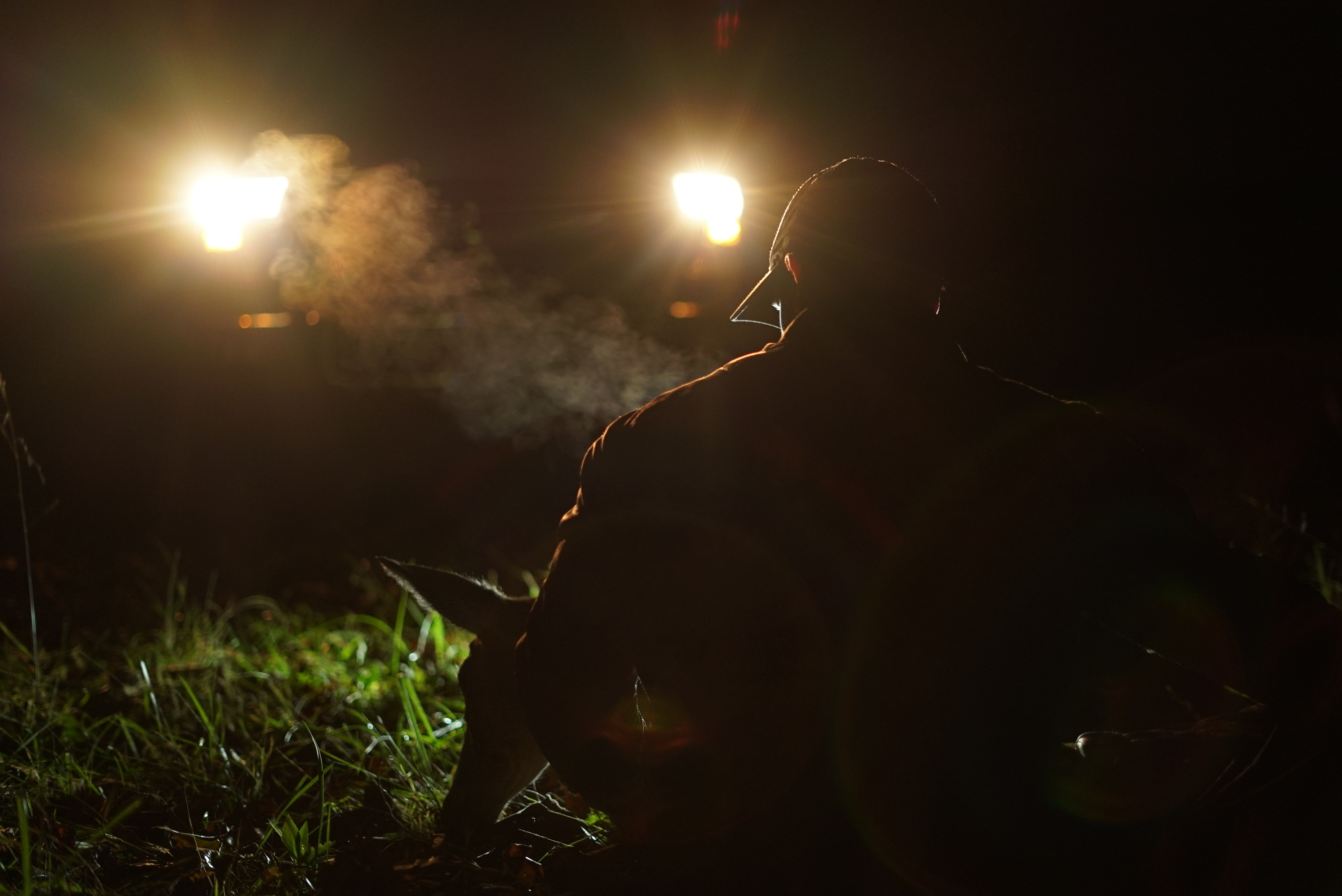
Visibility hitting zero shouldn't mean the search has to wait until morning. Our FAA Part 107-certified commercial pilots are fully licensed and equipped for completely legal drone night tracking. Our advanced thermal sensors cut through absolute, pitch-black darkness, allowing us to find bedded or downed wildlife when ground teams are completely blinded by the night canopy.

Rapid Thermal Game Recovery & Spoilage Prevention
In the dense South Carolina humidity and heat, meat spoilage happens rapidly, and local predators don't wait long. Our rapid-deployment carcass recovery service is optimized to pinpoint your downed game immediately after the shot. We help you honor the animal by ensuring zero wasted game and a clean harvest return.
How It Works: From Cold Trail to Recovery
Hunters trust us to find what matters
Mark your tree stand location or the last confirmed spot of the blood trail on your mapping app (OnX, Spartan Forge, or Google Maps).
Our certified pilot arrives on-scene and launches an enterprise thermal drone, executing a tight, systematic aerial grid sweep over the target area.
Watch the high-resolution thermal monitor right alongside our pilot. Once the animal's distinct thermal signature is found, we drop an exact GPS pin so your ground team can walk straight to the harvest.
Our Commitment to Ethical Sportsmanship
Lionheart Drone Recovery operates strictly within the boundaries of South Carolina wildlife laws and FAA regulations. Our thermal tracking flights are deployed strictly for the post-shot recovery of dead or wounded animals and for non-invasive population surveys. We do not assist in active hunting. We are proud partners of ethical tracking and conservation across the Midlands.